
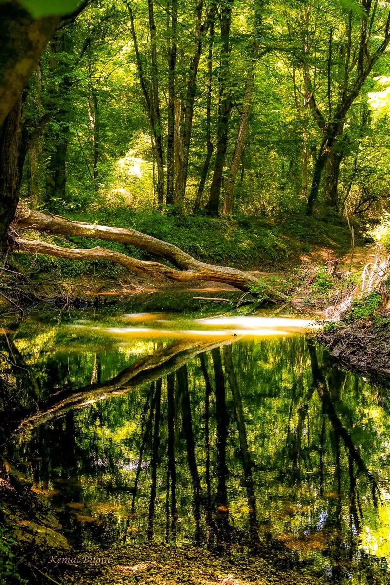
İğneada Floodplain Forests National Park
One of Europe's few remaining floodplain ("longoz") forests – the heart of the region.
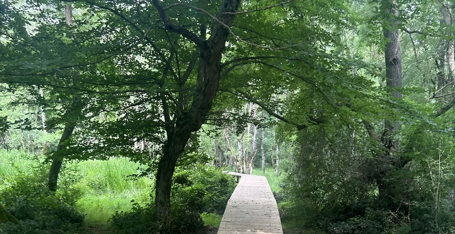
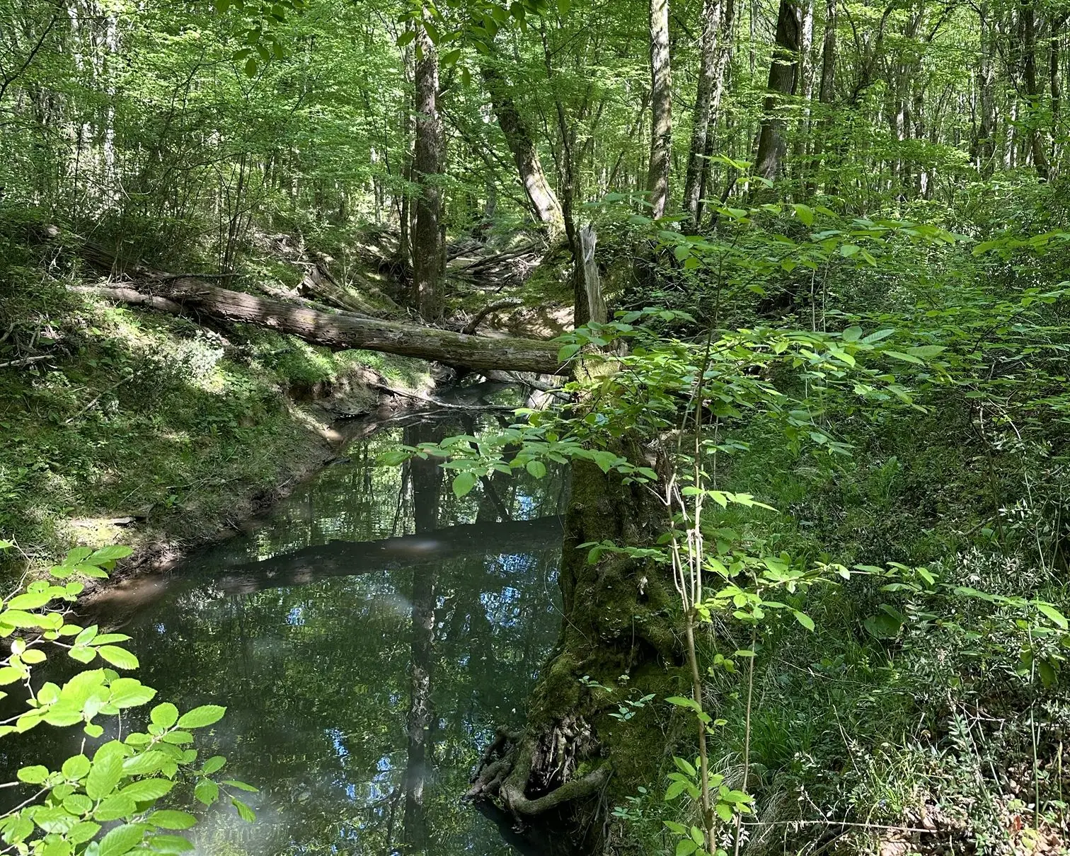
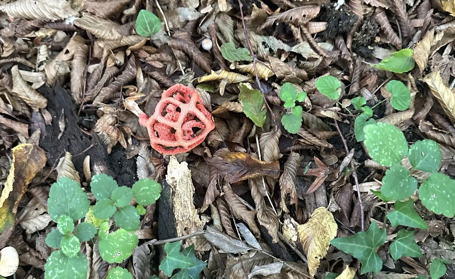
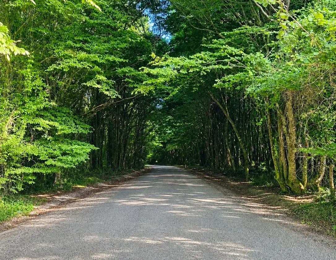
A longoz is a forest that is flooded for part of the year, where ash, alder, oak and elm are wrapped in climbers. Declared a national park on 13 November 2007 and covering about 3,155 ha, it joins lakes, streams, dunes and forest into one ecosystem. Trails and boardwalks let you see it up close; it also lies on a major bird migration route.
When to go
Best: April–June and September–November (autumn colours).
Good to know
Mosquitoes can be intense in summer – bring repellent and long sleeves. Stay on marked trails.
Nearby
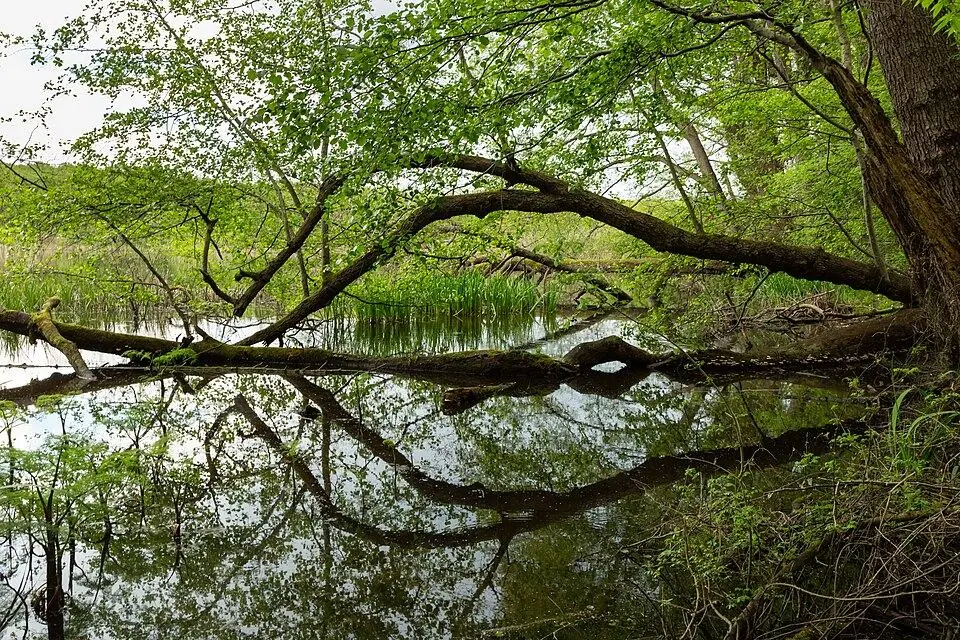
Lake Hamam
Longoz Forests National Park · To be verified
A small, wild lake hidden in the southern longoz forest.
Bulanıkdere & Çavuşdere Streams
Longoz Forests National Park · To be verified
Streams that descend from the Istranca hills and feed the longoz.
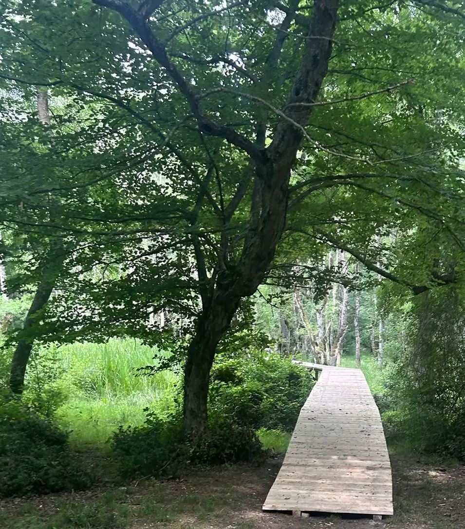
Longoz Walking Trails
Longoz Forests National Park · To be verified
Short walks into the longoz on boardwalks and forest paths.
Lake Saka Nature Reserve
Longoz Forests National Park · To be verified
A wild, protected lake known for its water lilies.
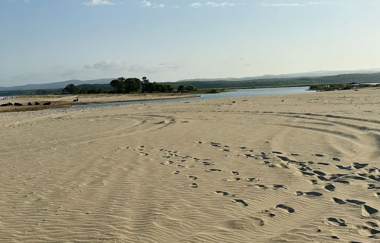
Lake Mert
Longoz Forests National Park · To be verified
A lake winding through the longoz to the sea – famous for canoe trips and picnics.
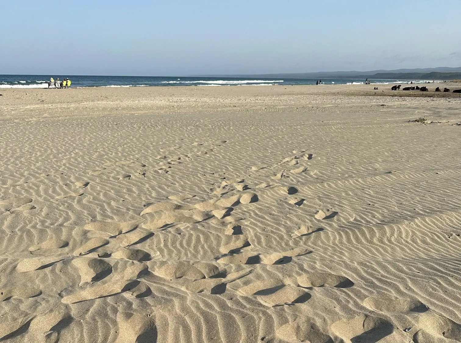
Lake Mert Beach & Campsite
Longoz Forests National Park · To be verified
The beach where Lake Mert meets the sea – a classic spot for tent camping and picnics.